
How will El Niño affect our Canadian winter?


While Canadian winters are anything but predictable, certain large-scale climate phenomena can still catch us by surprise. El Niño, which has reached historic levels and continues to intensify in the Pacific, could set the tone for the cold season across the country.
Under the influence of this climate phenomenon, which is warming Pacific waters, winter temperatures are expected to rise above seasonal averages. We can expect plenty of instability, often volatile weather and lower snowfall totals in several regions across Canada.
Here’s what you need to know to prepare for the challenges winter will bring.
What is the El Niño phenomenon?
El Niño is the warm phase of a natural cycle that influences interactions between the tropical Pacific Ocean and the atmosphere. Although these events may seem to have become more frequent in recent years, they typically occur every two to seven years.
During an El Niño event, surface waters in the central and eastern equatorial Pacific become warmer than normal. The winds that normally blow from east to west near the equator, known as trade winds, weaken. Rainfall patterns and atmospheric currents shift. All these changes affect atmospheric circulation and have impacts around the world.
In 2026, a super El Niño is disrupting precipitation patterns around the planet: successive heat waves in Europe, severe droughts in South Africa and Australia, major flooding elsewhere in the world… It is combining with global warming to push temperatures even higher.
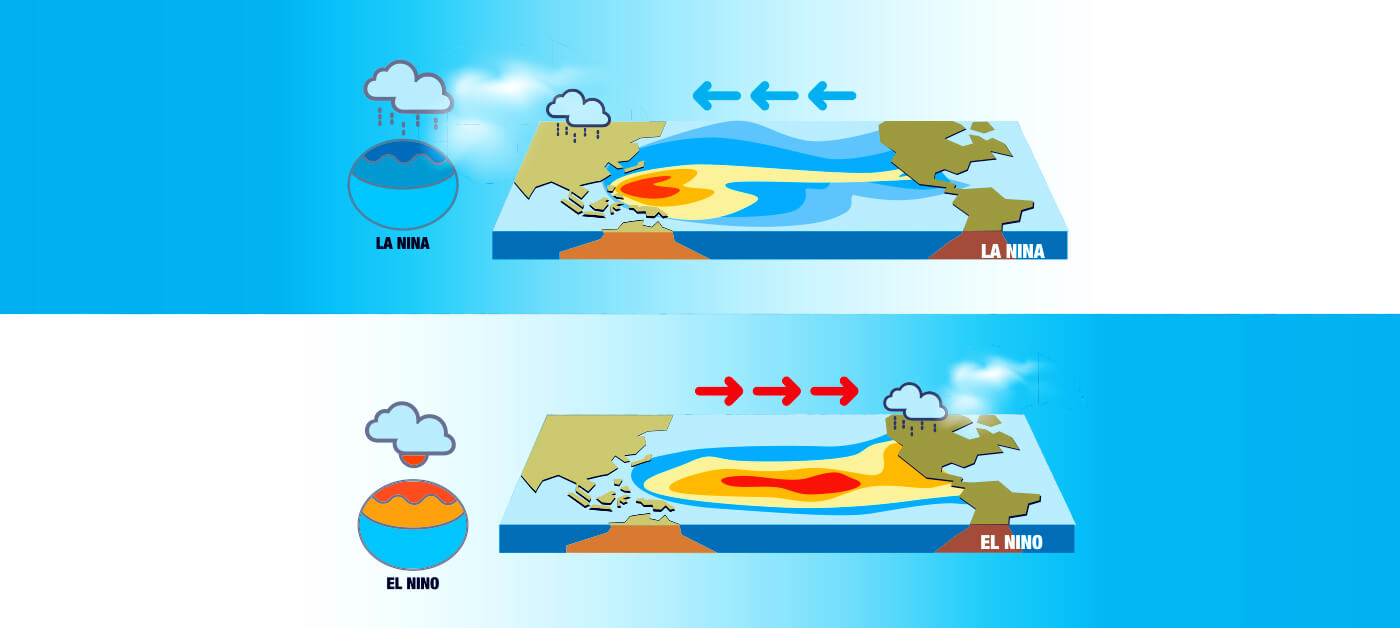
Good to know: La Niña is the cold phase of the same cycle. During a La Niña event, waters in the equatorial Pacific are cooler than normal, which can also influence weather patterns. In Canada, La Niña is most often associated with more variable but wintry conditions, particularly in the western and northern parts of the country.
A strong El Niño during the winter of 2026–2027
In Canada, El Niño influences the jet stream, a powerful band of fast-moving winds high in the atmosphere that steers weather systems. When the jet stream shifts its path, it can bring milder air to some regions while also altering precipitation patterns. In general, the most pronounced effects of El Niño in Canada are felt from winter through spring.
North American weather experts, including those at ClimateData.ca and Environment and Climate Change Canada, are also forecasting a very strong El Niño, with a peak expected in late fall or early winter.
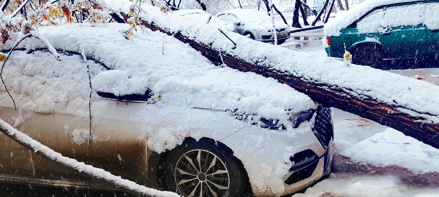
Sudden temperature swings will lead to more freeze-thaw cycles, potentially making even short trips more challenging. Winter rain, freezing rain and ice storms will more frequently take the place of our legendary snowstorms.
Looking at previous events also classified as super El Niño events — such as those of 1982–83, 1997–98 (the ice storm crisis) and 2015–16 — gives us some idea of what may lie ahead: sharp and even extreme contrasts, record-breaking warmth for the season, significant snowfall deficits in some areas, periods of heavy rain, freezing rain and spectacular coastal storms. While there is no guarantee that the winter of 2026–27 will exactly repeat these scenarios, the expected intensity of the phenomenon increases the likelihood of certain conditions.
Good to know: El Niño does not “control” the weather. Other factors also come into play, including the Arctic Oscillation, ocean temperatures, snow cover and the paths of low-pressure systems. An extreme cold snap or a major snowstorm can still occur, even during an overall mild winter.
Winter 2026–2027: weather trends to watch across Canada
British Columbia and the Yukon: less snow inland and instability along the coast
In Western Canada, El Niño is generally associated with a milder and drier winter, particularly in inland British Columbia and across the Yukon. What to expect:
- temperatures generally above seasonal averages
- less precipitation in the Rockies, the Okanagan and parts of the Yukon
- less snow in the mountains
- periods of heavy rain in some areas, increasing the risk of flooding, landslides and coastal erosion
- an earlier spring snowmelt and an increased risk of drought the following season
The phenomenon can have tangible impacts on winter activities, water supplies and the risk of wildfires in the spring and summer.
Alberta, Saskatchewan and Manitoba: probably a milder winter with drier weather
The Prairies could experience a milder winter, along with drier conditions. A lack of snow or rain can pose significant challenges for agriculture, ecosystems and water supplies in the following months.
Possible weather phenomena:
- winter temperatures often warmer than normal
- less snow in the Rockies (and potentially reduced water supplies in the spring)
- an increased risk of drought and wildfires if dry conditions persist into the spring
Ontario and Quebec: A milder winter, but not necessarily a calmer one
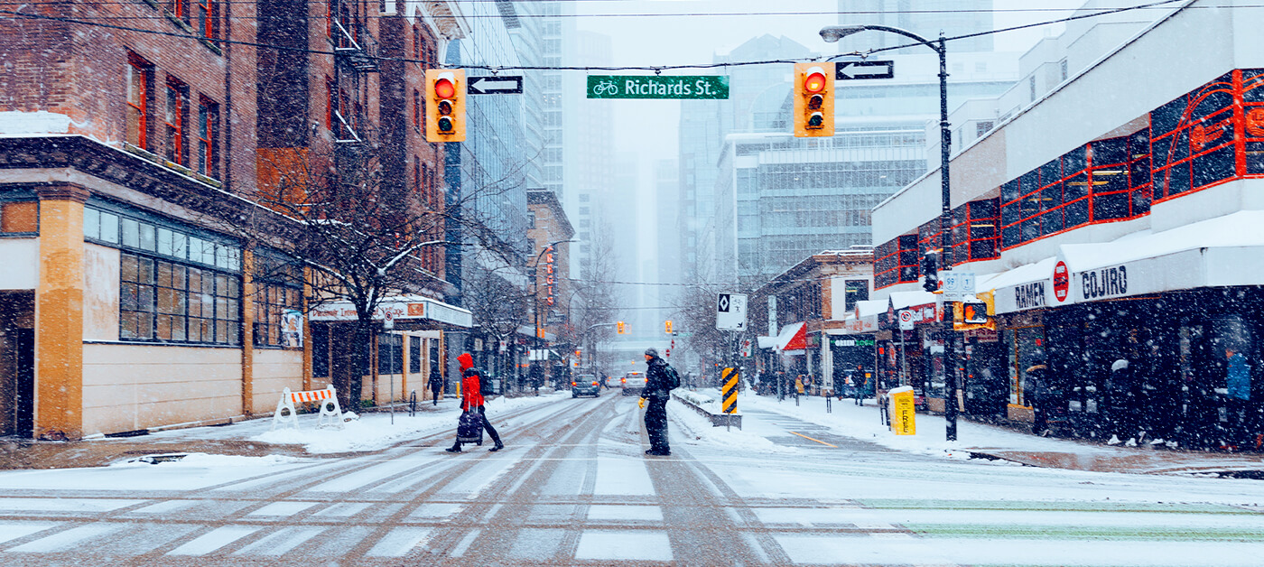
For Ontario and Quebec, an El Niño winter is generally marked by roller-coaster temperatures that can bring an impressive mix of weather conditions. This could mean:
- more periods of milder weather
- less persistent and more variable snow cover in some areas
- more winter precipitation falling as rain or freezing rain
- more frequent freeze-thaw cycles
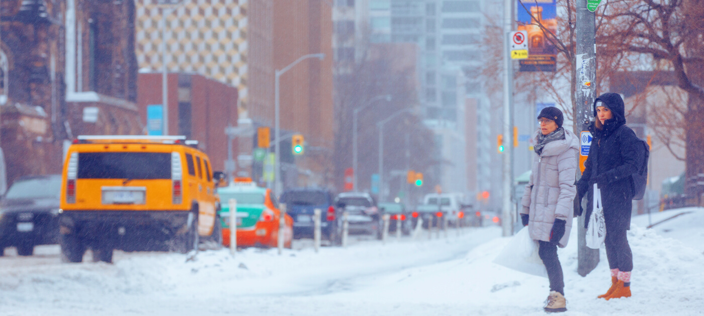
Very mild winters can disrupt activities that depend on consistent cold weather, such as outdoor skating, snowmobiling, ice fishing and cross-country skiing, while also making travel more challenging. Stay safe on the roads!
Atlantic Provinces: less snow, but impressive coastal storms
In New Brunswick, Nova Scotia, Prince Edward Island and Newfoundland and Labrador, El Niño could bring milder winter temperatures and, in many areas, less snow than usual.
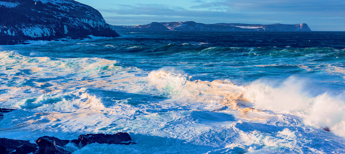
But keep in mind: “milder” doesn’t necessarily mean “calmer.” We can expect winter storms and heavy rain, along with unusually high sea levels, strong winds and an increased risk of coastal flooding.
Contrasting reactions across Northern Canada
Northern Canada does not respond uniformly to a super El Niño. The Northwest Territories often experience milder and drier winters, while some parts of Nunavut have, surprisingly, experienced colder-than-normal winters, often accompanied by sharp temperature swings and severe storms.
This is a reminder that the same climate phenomenon can produce different effects from one region to another.
What should we prepare for this winter?
Winter 2026–2027 could be generally milder across much of Canada, but it’s important not to confuse milder average temperatures with an absence of challenging conditions.
It’s best to be prepared for occasional cold snaps, localized snowstorms, periods of heavy rain or freezing rain, rapid temperature swings and difficult road conditions. Because of the instability, significant temperature differences may be felt not just from one province to another, but from one city to another.
The best approach is to check weather alerts before heading out or hitting the road, and to follow good winter safety practices: equip your vehicle with proper winter tires, keep an emergency kit in your car, and carefully maintain your driveway, sidewalks and steps to minimize the risk of falls.
So… another winter that’s warmer than normal? Despite climate change, we still get a true Canadian winter. Sure, the skating season may not always last until the end of February, and we can’t always count on a white Christmas… but no matter what the forecasts say, remember that winter can always surprise us!
Sources